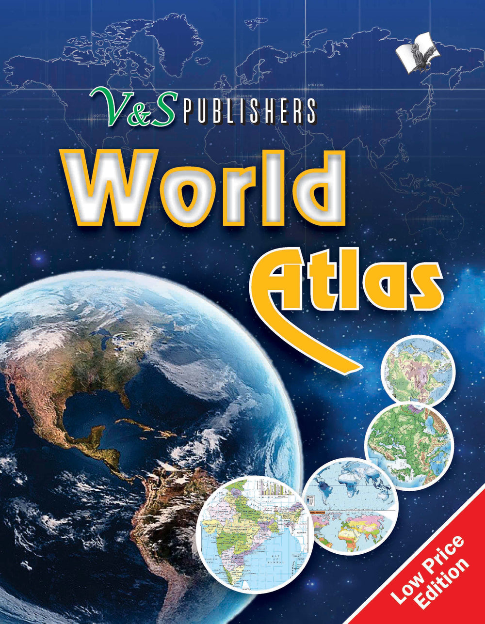
World Atlas: Government approved maps of India and the World, for exams & competitions, in colour
![]() 100% Genuine New Books
100% Genuine New Books
![]() Fast Shipping with Tracking Number
Fast Shipping with Tracking Number
Secure Payments via UPI, Cards & Wallets
![]() Trusted Support & Easy Returns
Trusted Support & Easy Returns
World Atlas: Government approved maps of India and the World, for exams & competitions, in colour - Paperback is backordered and will ship as soon as it is back in stock.
ISBN : 9789357941495
Year of Publication : 2017
Edition : Latest Revised
No. of Pages : 136
Weight : 108 g
Language : English
Condition : New
Publisher: V&S Publishers
Free shipping on orders over Rs. 249
Free shipping on orders over Rs. 249
We offer free shipping on orders above Rs. 249 in India. For orders below this threshold, a nominal shipping fee may apply, which will be clearly indicated during the checkout process.
How long will it take to receive my order?
How long will it take to receive my order?
The delivery time varies depending on your location. Generally, orders are processed and shipped within 1-3 business days. Once shipped, you can track and expect your order to arrive within 3-7 business days (the duration may vary depending on your location). For more information, please refer to our shipping policy.
Chat with a Real Person
Chat with a Real Person
WhatsApp chat is dedicated to assisting with after-sales queries regarding delivery, returns, and payments. Click below to initiate chat with us on WhatsApp:
[Bookstaa WhatsApp Chat].
For all other inquiries, please visit our customer support page or email us at support@bookstaa.com.
Couldn't load pickup availability
Description
Description
This atlas contains clear and easy to understand physical and political maps of India, continents, regions and important countries of the world supported by diagrams and charts. The atlas carries extensive coverage of thematic issues such as industry, mineral, agriculture, natural vegetation, climate, power, rail, road, air & sea routes, tourism, heritage, temperature & pressure, environments, whether, human development, metal & non metal, and other important information.
Demographic and socio-economic data of India drawn from reliable sources such as Census of India 2011, Statistical Year Book India 2014. Information about the world from authoritative published sources.
Comprehensive thematic maps on Indian agriculture & irrigation, food & cash crops, climate, rain, temperature, pressure & winds, metals & non-metals, mining, fuel, industries, transport and other important demographic information
Key information and data about countries of the world and world statistics #v&spublishers
About the Publisher
V&S Publishers
V&S Publishers is a contemporary Indian publishing house committed to providing high-quality, affordable, and accessible content across a wide range of categories.
Specializing in self-help, competitive exam preparation, language learning, general knowledge, and personality development, V&S Publishers has made a significant impact on students, professionals, and lifelong learners.
Their titles are designed to be practical, easy to understand, and application-oriented—ideal for both academic and casual readers.
V&S Publishers has steadily built a reputation for reliability and relevance in today’s fast-paced world.
Bookstaa is proud to be an authorized distributor of V&S Publishers, ensuring readers receive 100% original and up-to-date editions directly from the source.